Ludford,Shropshire
Ludford is a small village and Parish in South Shropshire, England. The Parish is the gateway to the market town of Ludlow and is situated along the South and Eastern aspect of the Town, Ludford consists of 5 distinct areas, Whitcliffe, Ludford, Steventon, The Sheet and Rocks Green. Until 1895, it was partly in Herefordshire.
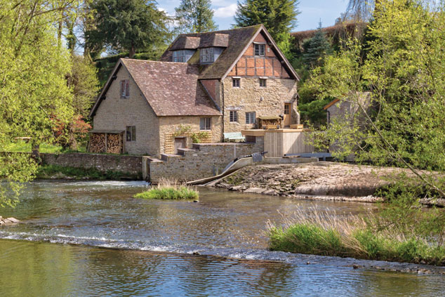
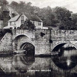
The River Teme threads its way through the Parish and under historic Ludford Bridge dating from the 15th Century http://www.britishlistedbuildings.co.uk/101281983-ludford-bridge-ludford and onto the dramatic and recently renovated Horseshoe Weir. The River and its banks form part of a SSSI for the area ( Sites of Special Scientific interest) Teme Weirs Trust.
Whitcliffe Common extends along the south west of the Parish it is managed through a team of volunteers Friends of Whitcliffe Common. It contains 3 SSSI's, the river Teme, the world renowned fossil site known as the Ludlow Bone Beds and the rock faces along the 'Bread Walk' http://www.shropshiresgreatoutdoors.co.uk/route/ludlow-country-walks-walk-6-a-riverside-ramble/ The bone beds are located at the southern end of the common.
Steventon, The Sheet and Ludford are mentioned in the 'Domesday Book' and existed before Ludlow. The historic heart of the Parish is St.Giles Church ( the only public open building in the Parish) Much of the history of local families and their ties to Ludford are recorded within its walls. Ludford House was built between the 14th and 18th Centuries and was originally surrounded by parkland until the Turnpike Road ( known as the Overton Road) was diverted through its land in 1876.
